
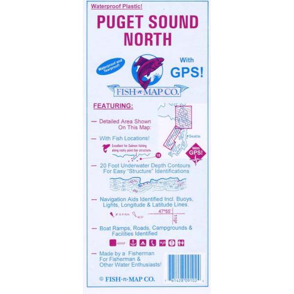
Puget Sound North Chart by Fish n Maps Company
Everett to Deception Pass
- Contours: 10'
- Scale: 1:77,000 / 1:50,250 inset 1,2 / 1:24,360 inset 3
- GPS Data: Yes
- Water Type: Salt
- Region/State(s): Washington
- Waterproof plastic
- Tear proof
- GPS locations
- Fish locations
- 20 foot underwater contours for finding structure where fish lie
- Navigation aids identified including bouys, longitude & latitude lines
- Boat ramps, roads, campgrounds & facilities identified
- For recreational use in finding fish.