
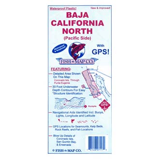
Baja Californa North Fishing Map (Pacific Side) by Fish n Map Co. Shows Coronado Islands through Punta Eugenia. 30 foot underwater depth contours for identification of structures where fish lie.
- Navigational aids identified include buoys, lights, longitude and latitude
- GPS locations for seamounts, kelp beds, rock reefs, and fish locations
- Waterproof and tearproof
- Chart is intended for recreational use only, to aid fishermen catch more fish